Application of Geophysical Exploration
Investigation of High-Potential Illegal Waste Dumping Sites
Site Background
Coastal areas in Taiwan are often remote and have historically faced challenges with illegal garbage dumping and waste burial. Taoyuan City’s coastline extends approximately 46 kilometers, covering about 27,400 hectares of coastal land, with numerous potential illegal waste dumping sites accumulated over time. Given the extensive area, a rapid, efficient, and cost-effective investigation strategy was necessary to comprehensively assess the extent, spatial distribution, potential, and risk levels of the waste dumping sites, thereby facilitating detailed follow-up investigations and cleanup efforts.
Site Status
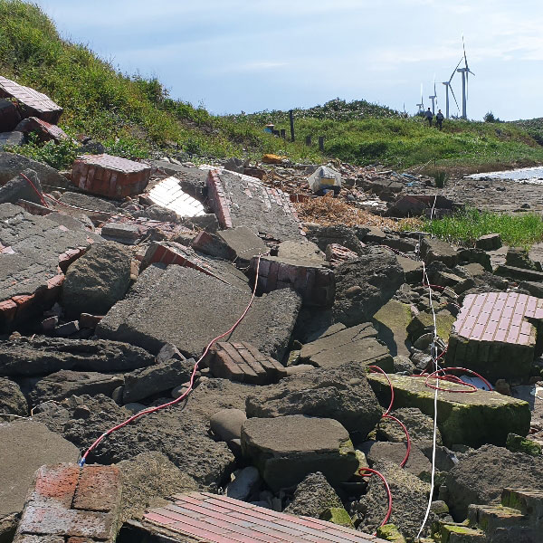
The site is located in the coastal region of Taoyuan City, characterized by a highly complex illegal dumping environment. The disposal methods include agricultural land excavation and backfilling, valley dumping, riverside dumping, flatland dumping, and fishpond backfilling, resulting in significant uncertainty regarding the burial depth and extent of waste materials.
Approach
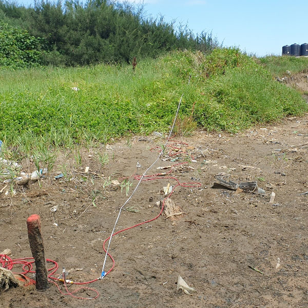
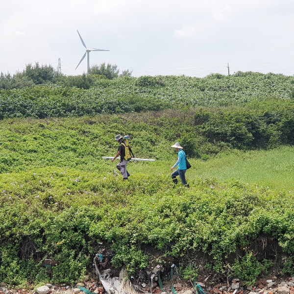
GTE completed surveys at six large-scale, high-potential sites within a few weeks, helping identify key electrical characteristics of suspected illegal waste-burial areas. We first used electromagnetic (EM) methods to find zones with unusual conductivity compared to natural soil. Then, we applied Electrical Resistivity Tomography (ERT) to these areas to determine the depth and extent of buried waste.
By integrating geophysical survey data with aerial photos, excavation records, and soil sampling results, GTE accurately mapped the locations and types of buried waste. This approach helps clients plan follow-up investigations and cleanup efficiently and safely.