Application of Geophysical Exploration
Ground Penetrating Radar (GPR) Survey for Complex Urban Pipelines
Site Background
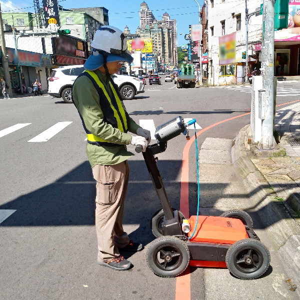
In recent years, the Taoyuan City Government has actively advanced the construction of the municipal sewer system. The urban shaft projects face significant challenges due to extensive road excavations. To ensure construction safety, contractors must accurately map the spatial distribution and burial depths of underground pipelines, minimizing the risk of accidental strikes and facilitating the smooth execution of critical tasks such as shaft trial excavations and pipeline relocations.
Site Status
The site is located in Taoyuan City, where the sewer system functions as deeply buried, largely invisible infrastructure.
The urban underground pipeline network is complex and dense, with discrepancies between existing pipelines and recorded maps. Inadvertent excavation could cause significant public safety incidents.
Approach
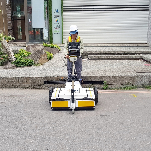
GTE employed various advanced single-frequency and array-type Ground Penetrating Radar (GPR) systems, combined with expert filtering analysis and data processing, to successfully detect underground utilities across 12 high-risk shaft work areas in key locations such as Chunri Road in Taoyuan City, Xin Nan Road–Zhongzheng Road–Zhongxiao West Road–Guangming Road corridor in Luzhu District, and Taode Road in Bade District.
Senior geophysical analysts interpreted scan profile images to identify pipeline characteristics, promptly cross-referencing with existing maps to precisely locate and determine depths of critical high-risk pipelines, including CPC long-distance pipelines, gas lines, and raw water lines. This approach effectively mitigated excavation risks, reduced construction costs, and ensured smooth project progression.